I 95 Southbound – Rest Areas
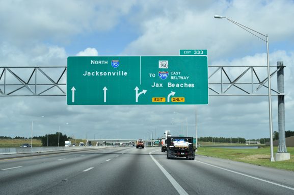
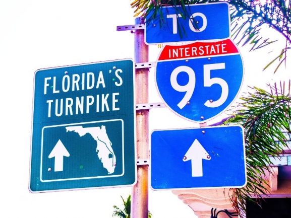
I-95 interstate highway is a highway in the Eastern United States. It goes up from Florida it ends at the New York City carrying traffic from Maine to Florida. Interstate 95 runs north/south through states including New Jersey, Massachusetts and Connecticut.
Please find below the I-95 southbound rest areas:
I-95 – Mile 2 – South – Turnout – See Map
I-95 – Mile 5 – South – Delaware House Service Area – See Map
I-95 – Mile 9 – South – Service Plaza – See Map
I-95 – Mile 10 – South – Turnout – See Map
I-95 – Mile 10 – South – Turnout – See Map
I-95 – Mile 23 – South – Service Plaza – See Map
I-95 – Mile 27 – South – Rest Area – See Map
I-95 – Mile 37 – South – Welcome Center – See Map
I-95 – Mile 38 – South – Newton Service Plaza – See Map
I-95 – Mile 41 – South – Rest Area #105 – See Map
I-95 – Mile 41 – South – Service Plaza – See Map
I-95 – Mile 47 – South – Rest Area – See Map
I-95 – Mile 48 – South – Rest Area – See Map
I-95 – Mile 51 – South – Rest Area – See Map
I-95 – Mile 53 – South – Service Plaza – See Map
I-95 – Mile 66 – South – Service Plaza – See Map
I-95 – Mile 77 – South – Turnout – See Map
I-95 – Mile 89 – South – Maria Miles Visitor Center – See Map
I-95 – Mile 99 – South – Santee Welcome Center – See Map
I-95 – Mile 99 – South – Rest Area – See Map
I-95 – Mile 106 – South – Rest Area – See Map
I-95 – Mile 107 – South – Ladysmith Rest Area – See Map
I-95 – Mile 108 – South – Welcome Center – See Map
I-95 – Mile 111 – South – Welcome Center – See Map
I-95 – Mile 131 – South – Fredericksburg Welcome Center – See Map
I-95 – Mile 133 – South – Rest Area – See Map
I-95 – Mile 139 – South – Rest Area – See Map
I-95 – Mile 142 – South – Rest Area – See Map
I-95 – Mile 154 – South – Dale City Truck-Only Rest Area – See Map
I-95 – Mile 155 – South – Dale City Rest Area – See Map
I-95 – Mile 169 – South – Rest Area – See Map
I-95 – Mile 179 – South – Welcome Center – See Map
I-95 – Mile 181 – South – Welcome Center – See Map
I-95 – Mile 195 – South – Dillon Welcome Center – See Map
I-95 – Mile 227 – South – Rest Area – See Map
I-95 – Mile 243 – South – Rest Area – See Map
I-95 – Mile 303 – South – Rest Area – See Map
I-95 – Mile 331 – South – Rest Area – See Map
I-95 – Mile 378 – South – Welcome Center – See Map
The Interstate 95 is a highway going through the east coast of the United States. It was named as one of the most dangerous highways in the world.